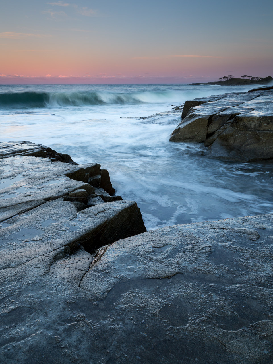
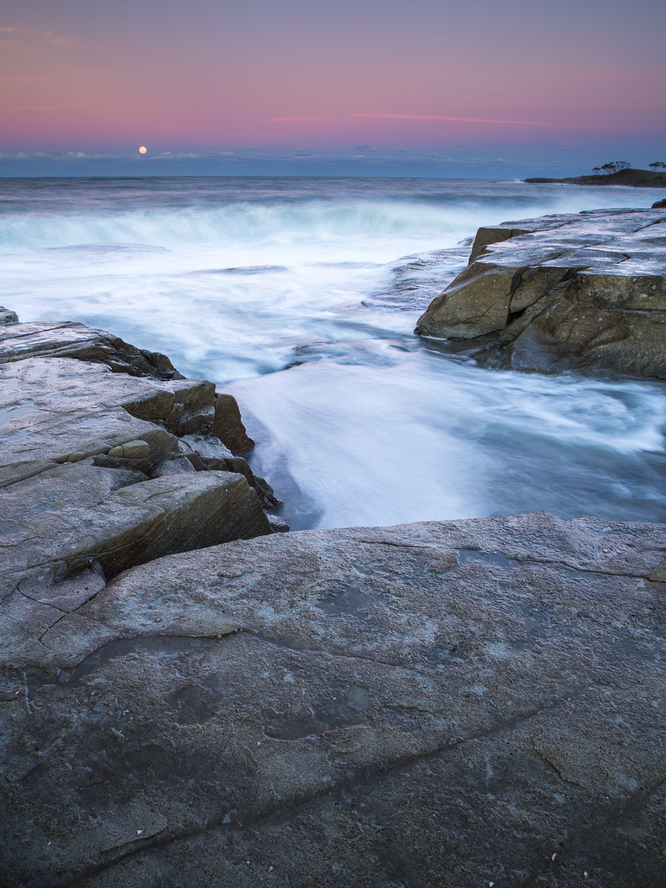
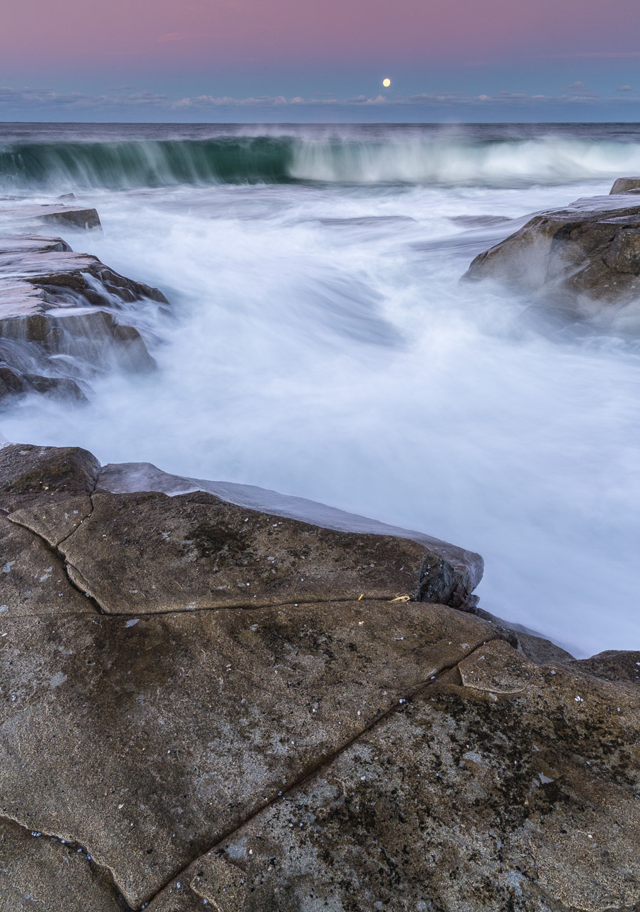
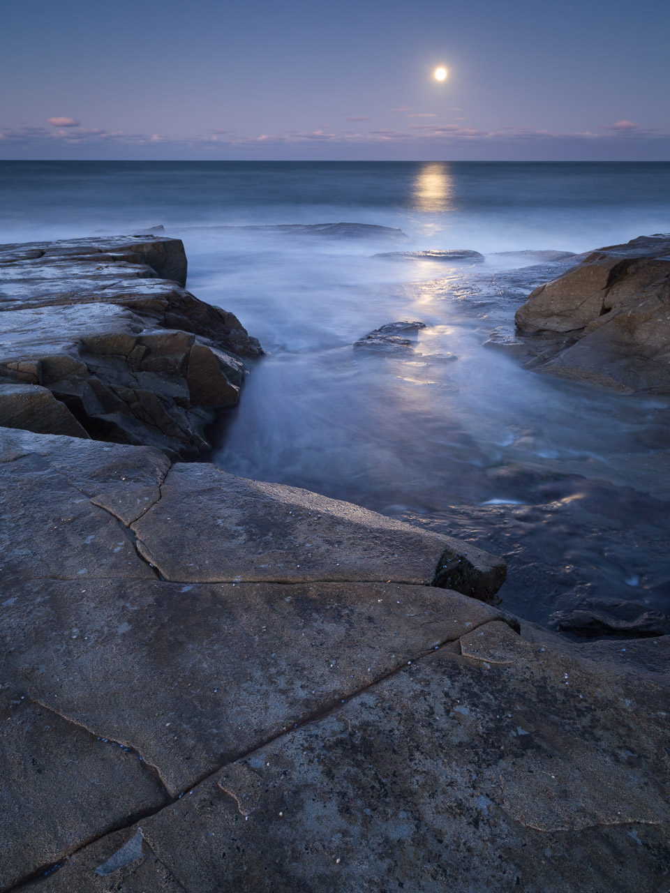
For me, shoot planning is one of the most important and yet least talked about skills for a landscape photographer. Whilst there is endless advice on what gear to buy and how to use that gear, there's relatively little mentioned about the what and the when (and even less so of the why!) of taking pictures.
Yet I find it a big determinant in successful images and also my greatest source of frustration. When I'm presented with a scene I normally flow quite happily through my process, rarely second guessing the shots I'm making or wondering if I should've done it differently. It just sort of happens instinctively.
But when it comes to shoot planning, it's the total opposite. Is the weather right? Will the tide be right? How do I get there? Where is there? What will I find there? Where do I park? What time do I need to leave the house? What am I having for breakfast? Is here the best place, or is there the best place? The list of questions ratting around my head is endless.
And of course they're all intertwined. Where you go determines how long it will take to get there. When you go will determine the tide and the weather. Conversely you might be picking a date based on the right tide, but then what's the weather like and are you free on that date? With this maelstrom of variables it sometimes feels like you're trying to solve the Equation of the Universe in your head and it's fit to explode!
If it's not clear yet, it frustrates the heck out of me! There's a distinct possibility that comes as a result of being "not brilliant" at it. Nonetheless let me share some thoughts on the subject, if only so you don't feel alone in your own frustrations.
I think this is a huge topic. It's difficult to do it justice in the form of a single blog post. To keep it sensible I've split this post into a series of 3 shorter posts:
- Tools: I don't like to put the emphasis on tools, but doing so answers questions about them early so I can talk a little less abstractly later. Also I'm aware some readers may just be after a recommendation.
- What I Do: I'll share some thinking on how I approach planning in its various guises, a little insight into my way of working (not the best way, just a way).
- How Do I?: a bit of an FAQ post with questions and scenarios to help you think things through. If you've got any planning related questions leave them in the comments/drop me a mail and I'll try to address them.
That's 3 posts in the pipeline but I can imagine I'll expand on a number of the topics within, so there's probably a longer series in the making. But let's see how we get on with this one first shall we? :)
Planning v Preparation
Ok, before getting stuck in let me set the right tone. I think that "planning" is the wrong word and "preparation" is more appropriate. As I seem to always talk about, expectation is a killer when it comes to creativity and stops you going with the flow. In many ways a plan is just an expression of an expectation and the steps needed to get there. So I want to avoid having too much of plan so that I don't fixate on it.
"Plans are worthless, but planning is everything" ~ Dwight D. Eisenhower
But having no plan or understanding of what might face me in the field is something that I find unsettling, and so equally problematic.
As with much in life the answer is balance. I need to know enough that I don't have to work through every possibility in the field. I like to research and understand what those possibilities are - just enough that I'm comfortable with what I'm doing, not too much that my course is fixed.
In some ways this is training the mind to react instinctively to things in the field, rather than having to consider everything from scratch.
Full disclosure: most of the links below are affiliate links which means I get paid a small commission for any purchases made via them. When I say "small" it's literally pennies! I make it clear below where I recommend something because I rely on it myself and stand behind that recommendation.
Tools
Ok, let's talk tools. When preparing for a shoot, some of the key pieces of information I want are regarding:
- Location: where am I going?
- Subject: what am I going to shoot?
- Sun: where will it be and when?
- Weather: what's the weather going to be like?
- Sea: what is the tide like? When is it at its best?
- Logistics: how do I get there?
Location: where am I going?
It should be fairly obvious why knowing where you're going is important.
In seriousness understanding a location and the the terrain is very important not just for making pictures but often for safety. This is especially when you’re likely going in or leaving in the dark when it’s easy to become disorientated.
In the UK we’re blessed with good quality mapping in the form of Ordnance Survey maps. There are apparently better maps out there for hardcore outdoor folks, but I find that OS maps (especially the Explorer 1:25k ones) are more than adequate for the purposes of planning a photography trip.
Most of the time I use maps on my iPhone in the field, or my iPad at base/home. I'm normally using these for informational rather than navigational purposes so I'm happy using my phone for this. If I'm going any distance and need a navigational aid I'll take a paper map and compass with me too and I'd encourage you to do the same (allied with knowledge of using a map and compass).
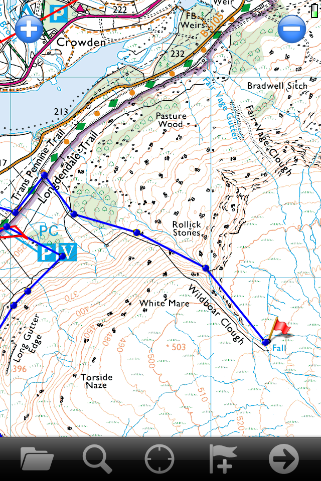
Years ago I bought my maps from MemoryMap which were the first digital OS maps around. They were and still are quite pricey. I can use them on my iPhone, iPad and computer. I can also print out maps at home from the software.
These days there are cheaper and probably better options. For the iPhone/iPad ViewRanger looks very good and gets a lot of good press. It would be the one I'd look at (so a suggestion rather than a recommendation). The Ordnance Survey recently released their own app but given its 2.5 star rating and expensive map prices it doesn't look a particularly compelling option! (really not a recommendation!)
I'd also recommend looking at the Ordnance Survey's Getamap service - it looks very well priced (and makes their iOS app seem all the more ridiculous). I know a number of photographers and outdoor folks that swear by it.
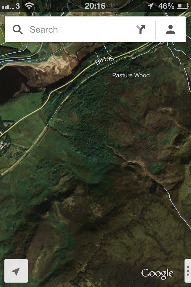
I use these to find the paths in and out, look for interesting features such as waterfalls, working out if a stretch of coast is rocky or sandy, trying to picture the landscape, and so on. I can work out what distance my planned route covers, how much climbing is involved, and this helps inform decisions about timings, food and drink requirements, and how much gear I’ll be comfortable taking.
Some people use Google Earth to better picture the landscape but I've not had that much success with it personally (must try harder!). I do use Google Maps, particularly in Satellite mode, to see a "real" view of the map. Using a combination of maps helps build up a fuller picture in my head.
Subject: what will I find there?
The map helps understand the bigger picture and perhaps some of the detail. From there I'm trying to fill in the blanks.
Other images of an area are really good for developing familiarisation with a place. They can give you clues to what location, tides and sun position work. For this you can use books, magazines, Flickr or Google Images. You’ll find that some places bring back thousands of results. Others will return very little. I tend to find myself going to the places with little.
Note that the purpose here isn't to identify images and compositions to replicate, but to develop a deeper understanding of what the terrain looks like, what possibilities exist and perhaps to understand what lies ahead based on how other photographers captured the place. Don’t hold onto a particular picture or expect to replicate it, just make general observations to help your planning.

I like to use Flickr to search for geotagged images on a map. Better yet I prefer to use the geo search function in the iPhone app FlickStackr which I find has a much better user interface and and is also portable. I can search the location I’m visiting on the map and it will show me images tagged nearby.
This relies on other people geotagging their images. Many don’t because it’s extra work (fortunately some cameras are now coming out with built-in GPS), others don’t for fear of someone copying their image.
I always geotag my images. I think if I rely on geotagged images for my research then I should offer my own to people in return. But going further, I like to think of our images as being a part of history, however small. With no tags and geographic information they just become another picture of limited value to others. By geotaggging I hope to make my photographs more useful to others both now and in the future, and I think this is something we should all do. But that's going off topic.
Sun: where will it be and when?
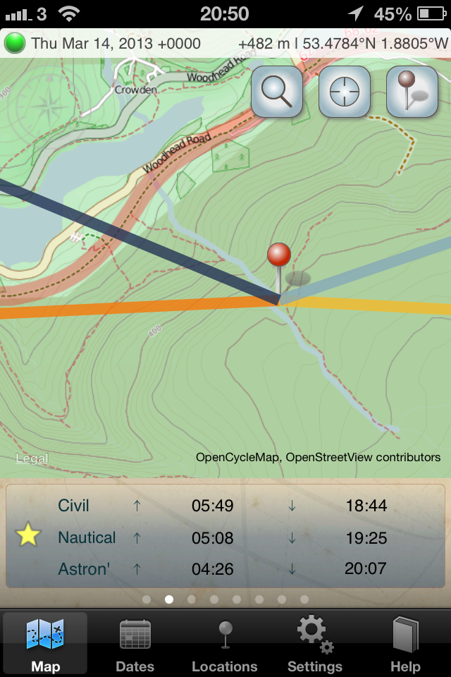
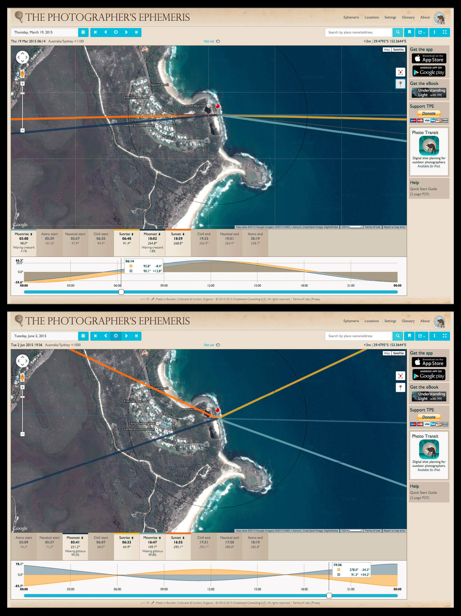
For this I use The Photographers’ Ephemeris (TPE) on my iPhone and iPad and I really can't rate it more highly. You can get it for Windows/Mac/Linux but for me the real value is having a portable solution. The app basically models the sun and moon position for any given time of day at any position in the world.
Working with Google Maps (and some other mapping providers such as OpenCycleMap) you drop a pin on the position you intend to be at and it will show lines pointing to the sunrise/set and moon rise/set times as well as their position for a particular time of day of your choosing.
Seeing this plotted on a map gives me a much clearer idea of where the sun will be in relation to the landscape than a simple compass bearing. Beyond that there is a whole host of functionality that the app provides such as:
- geodetic calculator: plot your position, a distant position (e.g. a mountain) and TPE will work out when the sun rises above or falls below that point
- twilight information: civil twilight (about 35 mins before/after rise/set) is one of my favourite times to shoot - the sun's gone down but there's enough light left for some awesome sky colour and some great twilight photography. The app will tell you these times and for later stages of twilight. This can also be be handy for knowing when it’s going to be “proper” dark e.g. if you need to know when you need to home. If I'm on a hill alone, I'll normally make sure I've covered the trickiest part of my descent by the end of civil twilight.
- sun/moon search: allows you to search for when the sun or moon rises or sets at a specific bearing, so e.g. if you wanted to know when the sun rises behind Bamburgh castle you drop the second pin on the castle and then do the sun search. It will tell you when the sun will next rise in that position
There’s a lot of functionality in the app. 95% of the time I just need the sunrise/set and twilight times and positions, but the other functionality is definitely useful on occasion. If you're interested in getting the most out of the app then Bruce Percy co-wrote an eBook with Stephen Trainor (author of TPE) which helps to give a deeper understanding of the app and its uses. You can find it here.
Weather: what's the weather going to be like?
Weather has a huge bearing on our photography. Most photographers will already appreciate the massive difference between clear sunny skies and a foggy morning. I always keep a close eye on the weather.
It's fair to say that the weather in the UK is unpredictable. We take it out on weather forecasters, but given how changeable our weather can be they don’t have much of a hope really. Nonetheless, weather forecasts are invaluable in helping to predict the conditions. I've used a lot of weather apps and websites and they generally vary from awful to ok.

However for the past year I've been using WeatherPro on my iPhone and iPad which is as good as it gets in my book. The forecasts are as accurate as I can realistically expect from an app. In fact there have been more than a few occasions where I've looked at the app telling me it's going to start raining at 11am and, sure enough, come 10.59 I can feel spots of rain. Remarkable.
Spooky coincidences aside, it's got hour-by-hour forecasts including cloud coverage (which I rely on a lot) as well as moving radar maps like you see on the telly. Although it's paid for (and note it's a 12 month subscription) having the most reliable weather information in my pocket is well worth the money.
It should also be said that there's nothing better than your own observations and instincts. Just watching the weather, how it changes, its effect on the light and developing an inkling for which way it is going to go is, I feel, a really important asset.
Sea: what is the tide like?
When it comes to the coast, the tide is almost as important as the weather forecast. It's a bit like your ground-level forecast (but at least you can rely on it!).

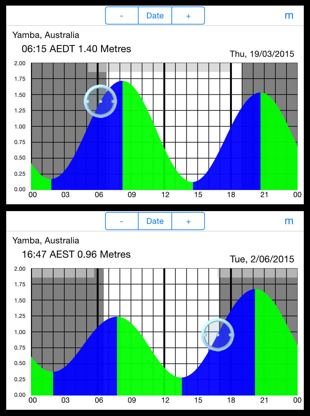
I use another iPhone app (what did we do before smartphones?!) to predict the tide - AyeTides. This will give you high and low tide times, as well as sunrise and set times (make sure to switch between GMT/BST as the clocks change!) for a large number of tide stations around the world. What I particularly like about it is if you turn your phone on its side then you get to see a graph of the tide heights, with sunrise/set overlaid. This makes it easy to see when the tide will be right for your preferred time of day.
In my ideal world it would have a “tide search” function similar to “sun search” in TPE so that you could get it to find the day when the selected tide height and sunrise/set next coincide. The good thing is that tides repeat frequently – it takes about 2 weeks for similar tides to return I believe – so if you know the time for the sun position you want, you can use that to “get in the ballpark” by finding a particular month, and then look in that 2 week window for a matching tide.
Logistics: how do I get there?
If shoot preparation is overlooked, then this is probably the most overlooked part of the preparation. I can find the ideal spot, sun and weather but if I don't realise I have to hike an hour to get there then I'm going to miss it (and be pretty annoyed mid-hike!).
There are so many factors that come into play with regards logistics - traffic, roadworks, hiking routes/fitness/pack weight, parking places, parking fees, etc. Indeed, it could be an entire post.
The tools to help here are varied, fragmented and location dependent. Google Maps can be quite good for finding parking spots (you can often see cars parked on the satellite view). OS maps help with planning the walking route to a shot.
If you're particularly unfamiliar then reading various websites can help build up familiarity of where to park, milestones on the route, things to avoid - such as sharp drops - etc. This part of preparation is as much about safety as it is about making photographs, and in difficult locations it should be the main focus.
Also of great use here - and indeed for all of the topics in this post - is Twitter (and if you use Twitter then check out Tweetbot, it's the way Twitter should be used!). There are literally thousands of people that can help you with information - in many ways it's like a group consciousness. It's important to remember it's not a replacement for Google, but if you're struggling on some of the finer details or need some advice then asking on Twitter is sure to help. Remember you get out what you put in, so if you expect help make sure to help others in return.
There are things that you should think about here that are a blog post (or website) in their own right that fall into the category of "Be Safe". Preparation also means being physically prepared for what you're doing, people know where you're going, and having an emergency plan. I don't mean wrap yourself in cotton wool but really, know the risk you take and be sensible.
If you're going any distance into the wilderness then please be properly equipped and prepared, look at some guidelines such as these and perhaps consider some outdoor skills training. Safety always comes first.
Summary
There you have it, a quick run through of the sort of info I'm looking for and the tools I use. It's not exhaustive, and I think a thirst for knowledge really helps with this topic. I try to remain observant for possible locations at all times - as I'm driving, watching television, reading, on social media, etc.
It's also worth remembering that non-photographers have a lot of info we can use, particularly hikers, climbers and other outdoor types. As an example I just bought Scrambles in the Dark Peak. When I came across it and previewed it on Google it made me realise that the nooks and crannies that people climb up are the same nooks and crannies that water runs down, i.e. waterfalls.
In future posts I'll spend some time explaining more about what I'm using these tools for and my own approach to planning, as well as answering any questions (leave them below or drop me an email). In the meantime I hope this post has provided you with some useful information.
I'd welcome any feedback, alternate suggestions or additional areas to cover. I'd like this blog series to become a useful resource for fellow photographers so any input you offer would be gratefully received. And if you liked it, please comment and/or share it with your friends. Thank you!
Want to Learn More?
I'm currently planning - sorry, preparing! - a workshop schedule where I will pass on my experience of this and other topics. If you'd like to be among the first to hear when I release these workshop dates and special offers then please join my mailing list.
[yks-mailchimp-list id="a7524b55eb"]


